Twin Falls - Truckee - Carlsbad - Monterrey
Flight / Schedule
Twin Falls - Truckee - Carlsbad - Monterrey
Aircraft
Learjet 35Registration
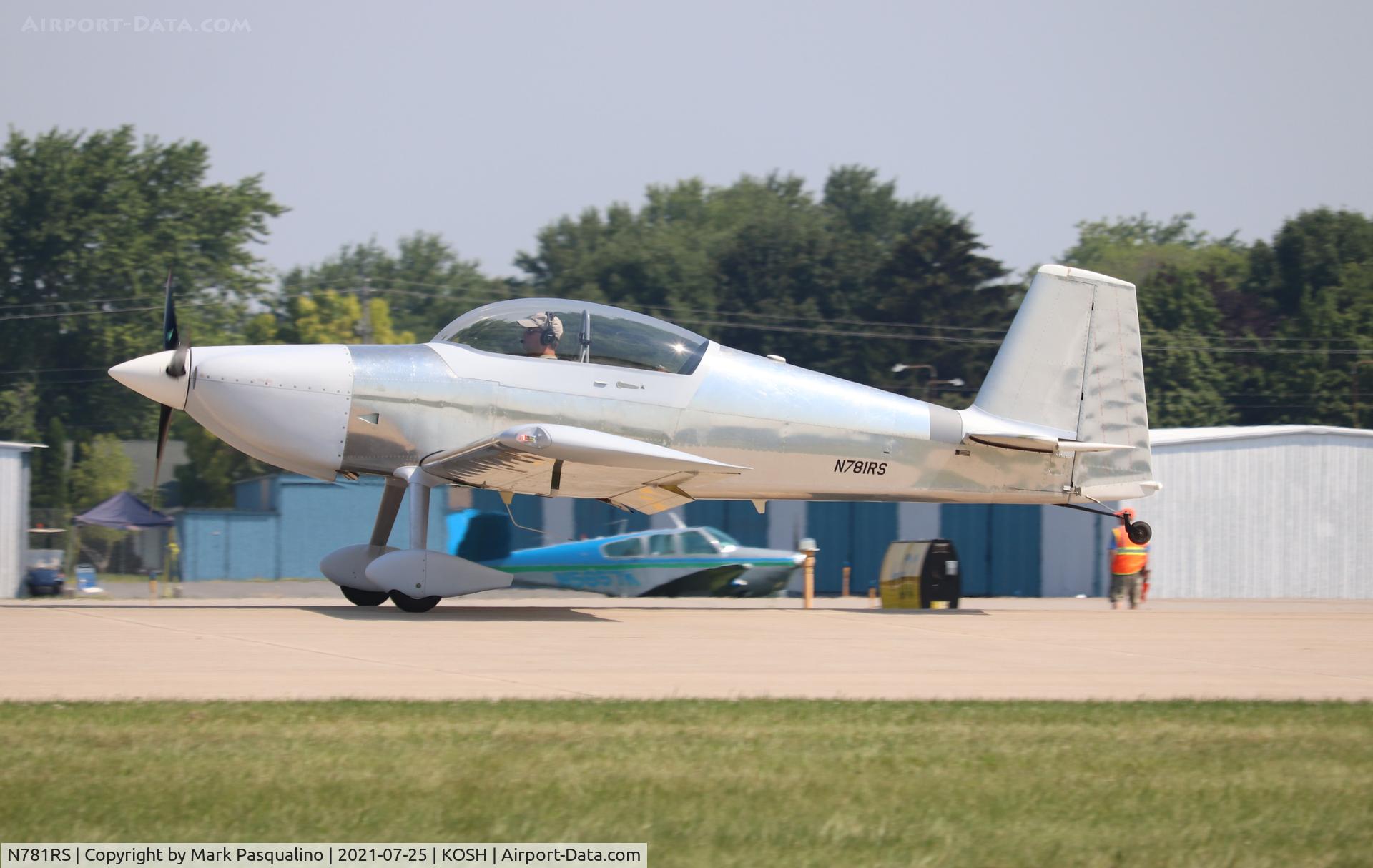
N781RS
MSN
35-218
Year of Manufacture
1978
Operator
Skyward Aviation - USADate
December 28, 2005 at 02:06 PM
Type
CRASHFlight Type
Positioning
Flight Phase
Landing (descent or approach)
Crash Site
Airport (less than 10 km from airport)
Crash Location
Truckee California
Region
North America • United States of America
Coordinates
39.3275°, -120.1858°
Crash Cause
Human factor
Narrative Report
On December 28, 2005 at 02:06 PM, Twin Falls - Truckee - Carlsbad - Monterrey experienced a crash involving Learjet 35, operated by Skyward Aviation - USA, with the event recorded near Truckee California.
The flight was categorized as positioning and the reported phase was landing (descent or approach) at a airport (less than 10 km from airport) crash site.
2 people were known to be on board, 2 fatalities were recorded, 0 survivors were identified or estimated. This corresponds to an estimated fatality rate of 100.0%.
Crew on board: 2, crew fatalities: 2, passengers on board: 0, passenger fatalities: 0, other fatalities: 0.
The listed crash cause is human factor. The airplane collided with the ground during a low altitude, steep banked, base-to-final left turn toward the landing runway during a circling instrument approach. The airplane impacted terrain 1/3-mile from the approach end of runway 28, and north of its extended centerline. A witness, located in the airport's administration building, made the following statement regarding his observations: "I saw the aircraft in and out of the clouds in a close base for [runway] 28. I then saw the aircraft emerge from a cloud in a base to final turn [and] it appeared to be approximately 300-400 feet above the ground. The left wing was down nearly 90 degrees. The aircraft appeared north of the [runway 28] centerline. The aircraft pitched nose down approximately 30-40 degrees and appeared to do a 1/2 cartwheel on the ground before exploding." ATC controllers had cleared the airplane to perform a GPS-A (circling) approach. The published weather minimums for category C and D airplanes at the 5,900-foot mean sea level airport was 3 miles visibility, and the minimum descent altitude was 8,200 feet mean sea level (msl). Airport weather observers noted that when the accident occurred, the visibility was between 1 1/2 and 5 miles. Scattered clouds existed at 1,200 feet above ground level (7,100 feet msl), a broken ceiling existed at 1,500 feet agl (7,400 feet msl) and an overcast condition existed at 2,400 feet agl (8,300 feet msl). During the approach, the first officer acknowledged to the controller that he had received the airport's weather. The airplane overflew the airport in a southerly direction, turned east, and entered a left downwind pattern toward runway 28. A 20- to 30-knot gusty surface wind existed from 220 degrees, and the pilot inadequately compensated for the wind during his base leg-to-final approach turning maneuver. The airplane was equipped with Digital Electronic Engine Controls (DEEC) that recorded specific data bits relating to, for example, engine speed, power lever position and time. During the last 4 seconds of recorded data (flight), both of the power levers were positioned from a mid range point to apply takeoff power, and the engines responded accordingly. No evidence was found of any preimpact mechanical malfunction. The operator's flight training program emphasized that during approaches consideration of wind drift is essential, and a circling approach should not be attempted in marginal conditions.
Aircraft reference details include registration N781RS, MSN 35-218, year of manufacture 1978.
Geospatial coordinates for this crash are approximately 39.3275°, -120.1858°.
Fatalities
Total
2
Crew
2
Passengers
0
Other
0
Crash Summary
The airplane collided with the ground during a low altitude, steep banked, base-to-final left turn toward the landing runway during a circling instrument approach. The airplane impacted terrain 1/3-mile from the approach end of runway 28, and north of its extended centerline. A witness, located in the airport's administration building, made the following statement regarding his observations: "I saw the aircraft in and out of the clouds in a close base for [runway] 28. I then saw the aircraft emerge from a cloud in a base to final turn [and] it appeared to be approximately 300-400 feet above the ground. The left wing was down nearly 90 degrees. The aircraft appeared north of the [runway 28] centerline. The aircraft pitched nose down approximately 30-40 degrees and appeared to do a 1/2 cartwheel on the ground before exploding." ATC controllers had cleared the airplane to perform a GPS-A (circling) approach. The published weather minimums for category C and D airplanes at the 5,900-foot mean sea level airport was 3 miles visibility, and the minimum descent altitude was 8,200 feet mean sea level (msl). Airport weather observers noted that when the accident occurred, the visibility was between 1 1/2 and 5 miles. Scattered clouds existed at 1,200 feet above ground level (7,100 feet msl), a broken ceiling existed at 1,500 feet agl (7,400 feet msl) and an overcast condition existed at 2,400 feet agl (8,300 feet msl). During the approach, the first officer acknowledged to the controller that he had received the airport's weather. The airplane overflew the airport in a southerly direction, turned east, and entered a left downwind pattern toward runway 28. A 20- to 30-knot gusty surface wind existed from 220 degrees, and the pilot inadequately compensated for the wind during his base leg-to-final approach turning maneuver. The airplane was equipped with Digital Electronic Engine Controls (DEEC) that recorded specific data bits relating to, for example, engine speed, power lever position and time. During the last 4 seconds of recorded data (flight), both of the power levers were positioned from a mid range point to apply takeoff power, and the engines responded accordingly. No evidence was found of any preimpact mechanical malfunction. The operator's flight training program emphasized that during approaches consideration of wind drift is essential, and a circling approach should not be attempted in marginal conditions.
Cause: Human factor
Occupants & Outcome
Crew On Board
2
Passengers On Board
0
Estimated Survivors
0
Fatality Rate
100.0%
Known people on board: 2
Operational Details
Schedule / Flight
Twin Falls - Truckee - Carlsbad - Monterrey
Operator
Skyward Aviation - USAFlight Type
Positioning
Flight Phase
Landing (descent or approach)
Crash Site
Airport (less than 10 km from airport)
Region / Country
North America • United States of America
Aircraft Details
Similar Plane Crashes
United States Signal Corps - USSC
De Havilland DH.4
The single engine airplane departed Dayton-McCook Field for a local test flight. Shortly after takeoff, the aircraft stalled and crashed, killing both occupants. Crew: Maj Oscar Brindley, Lt Col Henry Damm.
United States Signal Corps - USSC
De Havilland DH.4
Lt. Frank Stuart Patterson, son and nephew of the co-founders of National Cash Register, is killed in the crash of his DH.4M, AS-32098, at Wilbur Wright Field during a flight test of a new mechanism for synchronizing machine gun and propeller, when a tie rod breaks during a dive from 15,000 feet (4,600 m), causing the wings to separate from the aircraft. Wishing to recognize the contributions of the Patterson family (owners of NCR) the area of Wright Field east of Huffman Dam (including Wilbur Wright Field, Fairfield Air Depot, and the Huffman Prairie) is renamed Patterson Field on 6 July 1931, in honor of Lt. Patterson.
United States Signal Corps - USSC
De Havilland DH.4
The aircraft crashed in unknown circumstances.
United States Signal Corps - USSC
De Havilland DH.4
The crew was completing a training mission. At an altitude of about 4,000 feet, the aircraft entered a spin and crashed in an open field near Everman-Barron Field Airport. A crew was killed and the second occupants was injured. The aircraft was destroyed.
U.S. Air Mail Service
De Havilland DH.4
Crashed following an engine failure. Pilot fate unknown.
United States Signal Corps - USSC
De Havilland DH.4
The accident occurred in unknown circumstances.