
Istanbul Airport (IST/LTFM) → Antalya Airport (AYT/LTAI)
Flight / Schedule
Istanbul Airport (IST/LTFM) → Antalya Airport (AYT/LTAI)
Aircraft
Boeing 777-3Q8ERRegistration
TC-LKD
MSN
35783/786
Year of Manufacture
2009
Operator
THY Turkish AirlinesDate
June 11, 2026 at 12:00 AM
Type
CRASHFlight Type
Passenger - Scheduled
Flight Phase
Taxi
Crash Site
Substantial
Crash Location
Antalya Airport (AYT/LTAI) -
Region
Türkiye
Coordinates
36.9087°, 30.7991°
Narrative Report
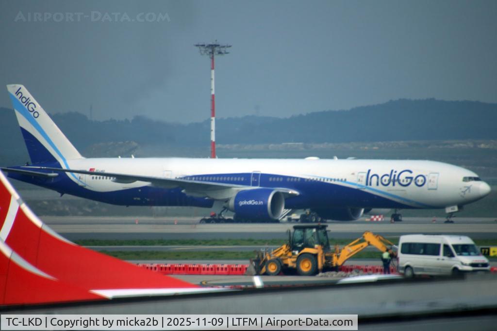
On June 11, 2026 at 12:00 AM, Istanbul Airport (IST/LTFM) → Antalya Airport (AYT/LTAI) experienced a crash involving Boeing 777-3Q8ER, operated by THY Turkish Airlines, with the event recorded near Antalya Airport (AYT/LTAI) -.
The flight was categorized as passenger - scheduled and the reported phase was taxi at a substantial crash site.
0 fatalities were recorded, 267 survivors were identified or estimated.
other fatalities: 0.
Turkish Airlines flight TK2430, a Boeing 777-300ER, struck a radar antenna tower with the right-hand wing as it taxied to the stand after landing at Antalya Airport (AYT). The mast collapsed and impacted the fuselage. The outer section of the right-hand wing was severely damaged and the fuselage also suffered (localized) substantial damage. The aircraft followed a taxiway with a distance between the centreline and the base of the lighting tower of about 29 meters. The wing span of the aircraft is 64,80 meters (32,80 meters from the centreline of the taxiway).
Aircraft reference details include registration TC-LKD, MSN 35783/786, year of manufacture 2009.
Geospatial coordinates for this crash are approximately 36.9087°, 30.7991°.
Fatalities
Total
0
Crew
0
Passengers
0
Other
0
Crash Summary
Turkish Airlines flight TK2430, a Boeing 777-300ER, struck a radar antenna tower with the right-hand wing as it taxied to the stand after landing at Antalya Airport (AYT). The mast collapsed and impacted the fuselage. The outer section of the right-hand wing was severely damaged and the fuselage also suffered (localized) substantial damage. The aircraft followed a taxiway with a distance between the centreline and the base of the lighting tower of about 29 meters. The wing span of the aircraft is 64,80 meters (32,80 meters from the centreline of the taxiway).
Occupants & Outcome
Crew On Board
—
Passengers On Board
—
Estimated Survivors
267
Fatality Rate
—
Operational Details
Schedule / Flight
Istanbul Airport (IST/LTFM) → Antalya Airport (AYT/LTAI)
Operator
THY Turkish AirlinesFlight Type
Passenger - Scheduled
Flight Phase
Taxi
Crash Site
Substantial
Region / Country
Türkiye
Aircraft Details
Similar Plane Crashes
Harmony Jets Malta
Dassault Falcon 50
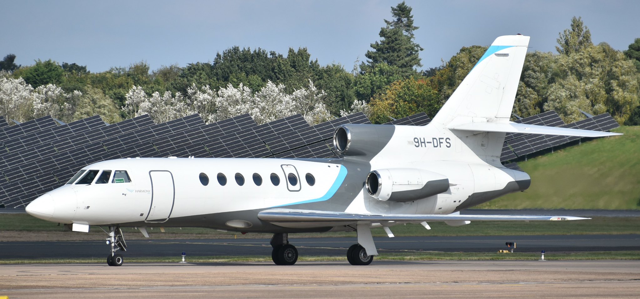
A Dassault Falcon 50, 9H-DFS, crashed about 30 minutes after takeoff from Ankara Esenboğa Airport (ESB/LTAC). There were eight occupants on board, including the Chief of Staff of the Libyan Armed Forces, General Mohammed Ali Ahmed Al-Haddad; all were killed The flight took off from ESB at 20:17 local time. After takeoff, it was transferred from Esenboğa Tower to the Approach Control Unit in and subsequently to the Area Control Unit. At 20:25 the aircraft was cleared to climb to FL330. Six minutes later, while at FL320, the aircraft declared “PAN-PAN, PAN-PAN, PAN-PAN,” reporting a general electrical failure, and requested radar vectors to return to Esenboğa Airport. ATC the gave a heading and descent level for the return to ESB. At 20:33 the flight began squawking emergency code 7700. Following the controller’s request to reconfirm the problem, it was observed that the aircraft’s altitude information could no longer be tracked on radar. At 20:34 the aircraft was transferred by the Area Control Unit to the Approach Control Unit for the emergency return to ESB, after confirming with the pilot the level it was passing. At 20:35, the aircraft again declared “PAN-PAN, PAN-PAN, PAN-PAN” and established contact with the Approach Control Unit for the return to Esenboğa Airport; radar vectors and descent levels were provided. At 20:36 after, the aircraft reported passing FL240, the intelligibility of the pilot-controller communication was lost. At 20:38 the aircraft completely disappeared from the radar screen before it impacted a rocky surface on Selamalmaz Hill at an elevation of 1252 m, near Haymana Kesikkavak Village.
SunExpress
Boeing 737-8HC (WL)
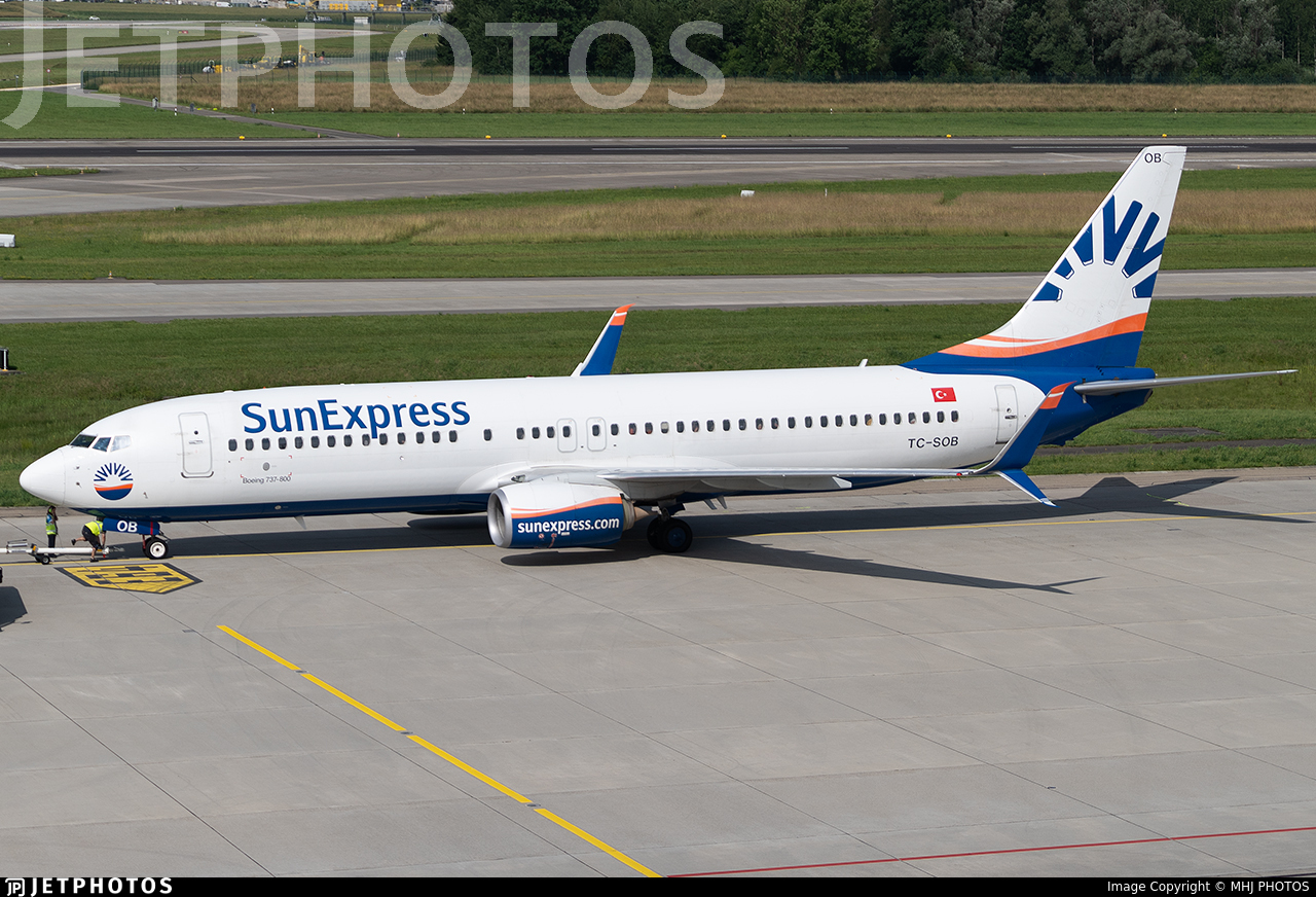
A SunExpress Boeing 737-8HC (WL), TC-SOB, flight XQ7646/SXS6VV, experienced a broken left main landing gear leg when taxiing to runway 36R at Antalya Airport (AYT/LTAI), Antalya. The 6 crew members and 175 passenger were not injured and the aircraft received substantial damage. The aircrft was taken out of service and the flight was taken over by Boeing 737-8AS (WL) TC-SOP with a delay of about 5.5 hours.