Toledo - Destin
Flight / Schedule
Toledo - Destin
Aircraft
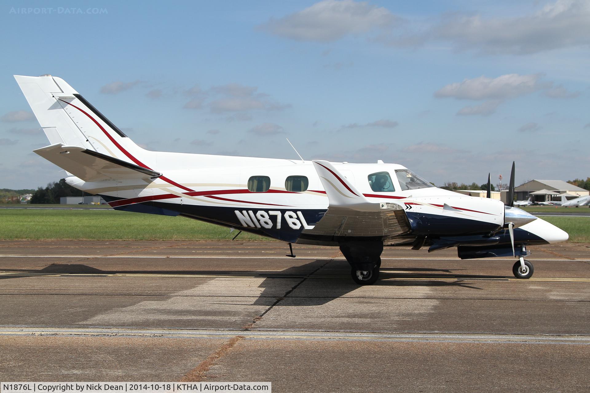
Beechcraft 60 DukeRegistration
N1876L
MSN
P-386
Year of Manufacture
1976
Operator
Henry Leasing CompanyDate
August 30, 2018 at 10:30 AM
Type
CRASHFlight Type
Private
Flight Phase
Landing (descent or approach)
Crash Site
Airport (less than 10 km from airport)
Crash Location
Destin-Fort Walton Beach Florida
Region
North America • United States of America
Coordinates
30.4219°, -86.6339°
Crash Cause
Human factor
Narrative Report
On August 30, 2018 at 10:30 AM, Toledo - Destin experienced a crash involving Beechcraft 60 Duke, operated by Henry Leasing Company, with the event recorded near Destin-Fort Walton Beach Florida.
The flight was categorized as private and the reported phase was landing (descent or approach) at a airport (less than 10 km from airport) crash site.
4 people were known to be on board, 4 fatalities were recorded, 0 survivors were identified or estimated. This corresponds to an estimated fatality rate of 100.0%.
Crew on board: 1, crew fatalities: 1, passengers on board: 3, passenger fatalities: 3, other fatalities: 0.
The listed crash cause is human factor. The commercial pilot and three passengers departed on a cross-country flight in a twin-engine airplane. As the flight neared the destination airport, the pilot canceled his instrument flight rules (IFR) clearance. The approach controller transferred the flight to the tower controller, and the pilot reported to the tower controller that the airplane was about 2 miles from the airport. However, the approach controller contacted the tower controller to report that the airplane was 200 ft over a nearby joint military airport at the time. GPS data revealed that, when pilot reported that the airplane was 2 miles from the destination airport, the airplane's actual location was about 10 miles from the destination airport and 2 miles from the joint military airport. The airplane impacted a remote wooded area about 8 miles northwest of the destination airport. At the time of the accident, thunderstorm cells were in the area. A review of the weather information revealed that the pilot's view of the airport was likely obscured because the airplane was in an area of light precipitation, restricting the pilot's visibility. A review of airport information noted that the IFR approach course for the destination airport passes over the joint military airport. The Federal Aviation Administration chart supplement for the destination airport noted the airport's proximity to the other airport. However, it is likely that the pilot mistook the other airport for the destination airport due to reduced visibility because of weather. The accident circumstances were consistent with controlled flight into terrain. The ethanol detected in the pilot's blood specimens but not in his urine specimens was consistent with postmortem bacteria production. The carbon monoxide and cyanide detected in the pilot's blood specimens were consistent with inhalation after the postimpact fire.
Aircraft reference details include registration N1876L, MSN P-386, year of manufacture 1976.
Geospatial coordinates for this crash are approximately 30.4219°, -86.6339°.
Fatalities
Total
4
Crew
1
Passengers
3
Other
0
Crash Summary
The commercial pilot and three passengers departed on a cross-country flight in a twin-engine airplane. As the flight neared the destination airport, the pilot canceled his instrument flight rules (IFR) clearance. The approach controller transferred the flight to the tower controller, and the pilot reported to the tower controller that the airplane was about 2 miles from the airport. However, the approach controller contacted the tower controller to report that the airplane was 200 ft over a nearby joint military airport at the time. GPS data revealed that, when pilot reported that the airplane was 2 miles from the destination airport, the airplane's actual location was about 10 miles from the destination airport and 2 miles from the joint military airport. The airplane impacted a remote wooded area about 8 miles northwest of the destination airport. At the time of the accident, thunderstorm cells were in the area. A review of the weather information revealed that the pilot's view of the airport was likely obscured because the airplane was in an area of light precipitation, restricting the pilot's visibility. A review of airport information noted that the IFR approach course for the destination airport passes over the joint military airport. The Federal Aviation Administration chart supplement for the destination airport noted the airport's proximity to the other airport. However, it is likely that the pilot mistook the other airport for the destination airport due to reduced visibility because of weather. The accident circumstances were consistent with controlled flight into terrain. The ethanol detected in the pilot's blood specimens but not in his urine specimens was consistent with postmortem bacteria production. The carbon monoxide and cyanide detected in the pilot's blood specimens were consistent with inhalation after the postimpact fire.
Cause: Human factor
Occupants & Outcome
Crew On Board
1
Passengers On Board
3
Estimated Survivors
0
Fatality Rate
100.0%
Known people on board: 4
Operational Details
Schedule / Flight
Toledo - Destin
Operator
Henry Leasing CompanyFlight Type
Private
Flight Phase
Landing (descent or approach)
Crash Site
Airport (less than 10 km from airport)
Region / Country
North America • United States of America
Aircraft Details
Similar Plane Crashes
United States Signal Corps - USSC
De Havilland DH.4
The single engine airplane departed Dayton-McCook Field for a local test flight. Shortly after takeoff, the aircraft stalled and crashed, killing both occupants. Crew: Maj Oscar Brindley, Lt Col Henry Damm.
United States Signal Corps - USSC
De Havilland DH.4
Lt. Frank Stuart Patterson, son and nephew of the co-founders of National Cash Register, is killed in the crash of his DH.4M, AS-32098, at Wilbur Wright Field during a flight test of a new mechanism for synchronizing machine gun and propeller, when a tie rod breaks during a dive from 15,000 feet (4,600 m), causing the wings to separate from the aircraft. Wishing to recognize the contributions of the Patterson family (owners of NCR) the area of Wright Field east of Huffman Dam (including Wilbur Wright Field, Fairfield Air Depot, and the Huffman Prairie) is renamed Patterson Field on 6 July 1931, in honor of Lt. Patterson.
United States Signal Corps - USSC
De Havilland DH.4
The aircraft crashed in unknown circumstances.
United States Signal Corps - USSC
De Havilland DH.4
The crew was completing a training mission. At an altitude of about 4,000 feet, the aircraft entered a spin and crashed in an open field near Everman-Barron Field Airport. A crew was killed and the second occupants was injured. The aircraft was destroyed.
U.S. Air Mail Service
De Havilland DH.4
Crashed following an engine failure. Pilot fate unknown.
United States Signal Corps - USSC
De Havilland DH.4
The accident occurred in unknown circumstances.