Bullhead City – Van Nuys
Flight / Schedule
Bullhead City – Van Nuys
Aircraft
Cessna 421B Golden Eagle IIRegistration
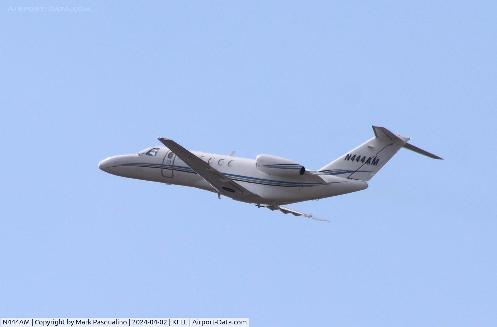
N444AM
MSN
421B-0367
Year of Manufacture
1973
Operator
Robert S. BrownDate
October 29, 2003 at 12:22 PM
Type
CRASHFlight Type
Private
Flight Phase
Flight
Crash Site
Plain, Valley
Crash Location
Kelso California
Region
North America • United States of America
Coordinates
35.0118°, -115.6515°
Crash Cause
Human factor
Narrative Report
On October 29, 2003 at 12:22 PM, Bullhead City – Van Nuys experienced a crash involving Cessna 421B Golden Eagle II, operated by Robert S. Brown, with the event recorded near Kelso California.
The flight was categorized as private and the reported phase was flight at a plain, valley crash site.
5 people were known to be on board, 5 fatalities were recorded, 0 survivors were identified or estimated. This corresponds to an estimated fatality rate of 100.0%.
Crew on board: 1, crew fatalities: 1, passengers on board: 4, passenger fatalities: 4, other fatalities: 0.
The listed crash cause is human factor. The aircraft broke up in-flight during a high speed descent after encountering clouds and reduced visibilities aloft. The weather conditions included multiple cloud layers at 9,000, 12,000 and 16,000 feet, and reduced visibility aloft from smoke and haze from wilderness wild fires that were occurring over large portions of Southern California. The aircraft departed the airport toward a VORTAC to the west, approximately 30 nautical miles (nm) away. The first radar contact was at 1159, and the aircraft's Mode C transponder reported an altitude of 3,500 feet mean sea level (msl). By the time the aircraft reached the VORTAC, the altitude had increased to 4,900 feet msl. The aircraft continued to climb, passing through the VFR flight plan filed altitude of 8,500 feet msl, until it reached an altitude of 12,900 feet msl. The last 6 minutes of radar data reported the aircraft at various altitudes, starting at 11,000 feet msl and climbing to a maximum altitude of 12,700 feet msl. During the last 3 minutes of flight, radar data showed the aircraft made numerous left and right climbing and descending turns, eventually reversing course. The next to last radar return at 1221:24 indicated an altitude of 11,900 feet msl. Nineteen seconds later, the last radar return reported an altitude of 7,700 feet msl. The computed vertical speed between the last two radar returns was 13,263 feet per minute. The wreckage was distributed over a 0.2-nm distance, with the main wreckage approximately 0.5 miles northwest of the last radar return. The northern end of the debris path began with pieces of the left elevator, followed by sections of the right stabilizer and elevator, and more sections from both horizontal empennage surfaces. Pieces of the vertical stabilizer, rudder, and both ailerons were also found along the debris path. The southern 100 feet of the debris path contained the fuselage and both sets of wings, engines, and propellers. The aircraft impacted the ground inverted. The wings separated just outboard of the nacelles at the initial point of impact. Examination of the wreckage showed that all structural failures were the result of overload.
Aircraft reference details include registration N444AM, MSN 421B-0367, year of manufacture 1973.
Geospatial coordinates for this crash are approximately 35.0118°, -115.6515°.
Fatalities
Total
5
Crew
1
Passengers
4
Other
0
Crash Summary
The aircraft broke up in-flight during a high speed descent after encountering clouds and reduced visibilities aloft. The weather conditions included multiple cloud layers at 9,000, 12,000 and 16,000 feet, and reduced visibility aloft from smoke and haze from wilderness wild fires that were occurring over large portions of Southern California. The aircraft departed the airport toward a VORTAC to the west, approximately 30 nautical miles (nm) away. The first radar contact was at 1159, and the aircraft's Mode C transponder reported an altitude of 3,500 feet mean sea level (msl). By the time the aircraft reached the VORTAC, the altitude had increased to 4,900 feet msl. The aircraft continued to climb, passing through the VFR flight plan filed altitude of 8,500 feet msl, until it reached an altitude of 12,900 feet msl. The last 6 minutes of radar data reported the aircraft at various altitudes, starting at 11,000 feet msl and climbing to a maximum altitude of 12,700 feet msl. During the last 3 minutes of flight, radar data showed the aircraft made numerous left and right climbing and descending turns, eventually reversing course. The next to last radar return at 1221:24 indicated an altitude of 11,900 feet msl. Nineteen seconds later, the last radar return reported an altitude of 7,700 feet msl. The computed vertical speed between the last two radar returns was 13,263 feet per minute. The wreckage was distributed over a 0.2-nm distance, with the main wreckage approximately 0.5 miles northwest of the last radar return. The northern end of the debris path began with pieces of the left elevator, followed by sections of the right stabilizer and elevator, and more sections from both horizontal empennage surfaces. Pieces of the vertical stabilizer, rudder, and both ailerons were also found along the debris path. The southern 100 feet of the debris path contained the fuselage and both sets of wings, engines, and propellers. The aircraft impacted the ground inverted. The wings separated just outboard of the nacelles at the initial point of impact. Examination of the wreckage showed that all structural failures were the result of overload.
Cause: Human factor
Occupants & Outcome
Crew On Board
1
Passengers On Board
4
Estimated Survivors
0
Fatality Rate
100.0%
Known people on board: 5
Operational Details
Schedule / Flight
Bullhead City – Van Nuys
Operator
Robert S. BrownFlight Type
Private
Flight Phase
Flight
Crash Site
Plain, Valley
Region / Country
North America • United States of America
Aircraft Details
Similar Plane Crashes
United States Signal Corps - USSC
De Havilland DH.4
The single engine airplane departed Dayton-McCook Field for a local test flight. Shortly after takeoff, the aircraft stalled and crashed, killing both occupants. Crew: Maj Oscar Brindley, Lt Col Henry Damm.
United States Signal Corps - USSC
De Havilland DH.4
Lt. Frank Stuart Patterson, son and nephew of the co-founders of National Cash Register, is killed in the crash of his DH.4M, AS-32098, at Wilbur Wright Field during a flight test of a new mechanism for synchronizing machine gun and propeller, when a tie rod breaks during a dive from 15,000 feet (4,600 m), causing the wings to separate from the aircraft. Wishing to recognize the contributions of the Patterson family (owners of NCR) the area of Wright Field east of Huffman Dam (including Wilbur Wright Field, Fairfield Air Depot, and the Huffman Prairie) is renamed Patterson Field on 6 July 1931, in honor of Lt. Patterson.
United States Signal Corps - USSC
De Havilland DH.4
The aircraft crashed in unknown circumstances.
United States Signal Corps - USSC
De Havilland DH.4
The crew was completing a training mission. At an altitude of about 4,000 feet, the aircraft entered a spin and crashed in an open field near Everman-Barron Field Airport. A crew was killed and the second occupants was injured. The aircraft was destroyed.
U.S. Air Mail Service
De Havilland DH.4
Crashed following an engine failure. Pilot fate unknown.
United States Signal Corps - USSC
De Havilland DH.4
The accident occurred in unknown circumstances.