Broomfield – Denver
Flight / Schedule
Broomfield – Denver
Aircraft
Piper PA-31 CheyenneRegistration
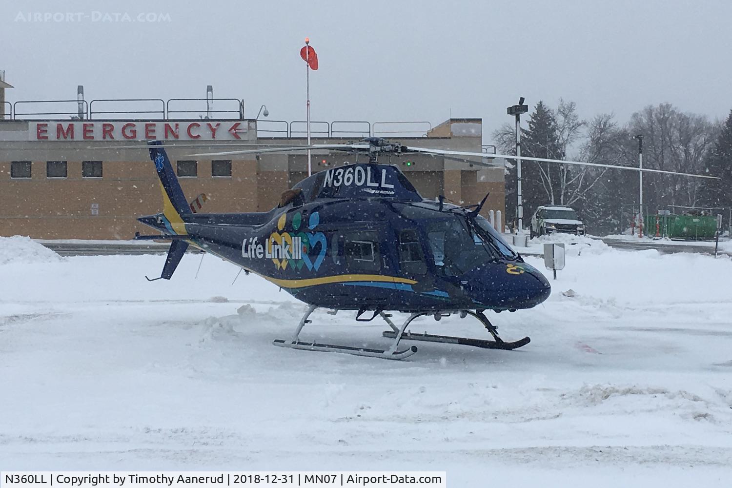
N360LL
MSN
31-7520036
Year of Manufacture
1975
Operator
Lee Larson Aircraft SalesDate
January 24, 2003 at 05:21 PM
Type
CRASHFlight Type
Private
Flight Phase
Flight
Crash Site
City
Crash Location
Denver Colorado
Region
North America • United States of America
Coordinates
39.7392°, -104.9849°
Crash Cause
Human factor
Narrative Report
On January 24, 2003 at 05:21 PM, Broomfield – Denver experienced a crash involving Piper PA-31 Cheyenne, operated by Lee Larson Aircraft Sales, with the event recorded near Denver Colorado.
The flight was categorized as private and the reported phase was flight at a city crash site.
2 people were known to be on board, 2 fatalities were recorded, 0 survivors were identified or estimated. This corresponds to an estimated fatality rate of 100.0%.
Crew on board: 2, crew fatalities: 2, passengers on board: 0, passenger fatalities: 0, other fatalities: 0.
The listed crash cause is human factor. A Piper PA-31T "Cheyenne" and a Cessna 172P "Skyhawk" collided in midair during cruise flight at dusk and in visual meteorological conditions. The Cheyenne departed under visual flight rules (VFR) from a local airport northwest of Denver, and was proceeding direct at 7,800 feet to another local airport south of Denver. Radar indicated its ground speed was 230 knots. Its altitude encoder was transmitting intermittently. The Skyhawk departed VFR from the south airport and was en route to Cheyenne, Wyoming, at 7,300 feet. The pilot requested and was cleared to climb to 8,500 feet and penetrate class B airspace. Radar indicated its ground speed was 110 knots. The Skyhawk was flying in the suggested "VFR flyway"; the Cheyenne was not. When the controller observed the two airplanes converging, he asked the pilot of the Cheyenne for his altitude. He replied he was at 7,600 feet. The controller immediately issued a traffic advisory, but the pilot did not acknowledge. Both airplanes departed controlled flight: the Skyhawk struck a house, and the Cheyenne fell inverted into the backyard of a residence. Wreckage was scattered over a 24 square block area in west Denver. At the time of the accident, the controller was handling low altitude en route, arrival and departure traffic for both airports. Wreckage examination disclosed four slashes, consistent with propeller strikes, on top of the Cheyenne's right engine nacelle, the cabin above the right wing trailing edge, the empennage at the root of the dorsal fin, and at the tail cone. The Cheyenne was on a similar flight three days before the collision when the pilot was informed by air traffic control that the transponder was operating intermittently. According to recorded radar and voice communications from that flight, the transponder/encoder operated intermittently and the pilot was so advised. Examination of the Cheyenne's altimeter/encoder revealed a cold solder connection on pin 8 of the 15-pin altimeter connector. When the wire was resoldered to the pin, the information from the altimeters, encoder, and altitude serializer was normal.
Aircraft reference details include registration N360LL, MSN 31-7520036, year of manufacture 1975.
Geospatial coordinates for this crash are approximately 39.7392°, -104.9849°.
Fatalities
Total
2
Crew
2
Passengers
0
Other
0
Crash Summary
A Piper PA-31T "Cheyenne" and a Cessna 172P "Skyhawk" collided in midair during cruise flight at dusk and in visual meteorological conditions. The Cheyenne departed under visual flight rules (VFR) from a local airport northwest of Denver, and was proceeding direct at 7,800 feet to another local airport south of Denver. Radar indicated its ground speed was 230 knots. Its altitude encoder was transmitting intermittently. The Skyhawk departed VFR from the south airport and was en route to Cheyenne, Wyoming, at 7,300 feet. The pilot requested and was cleared to climb to 8,500 feet and penetrate class B airspace. Radar indicated its ground speed was 110 knots. The Skyhawk was flying in the suggested "VFR flyway"; the Cheyenne was not. When the controller observed the two airplanes converging, he asked the pilot of the Cheyenne for his altitude. He replied he was at 7,600 feet. The controller immediately issued a traffic advisory, but the pilot did not acknowledge. Both airplanes departed controlled flight: the Skyhawk struck a house, and the Cheyenne fell inverted into the backyard of a residence. Wreckage was scattered over a 24 square block area in west Denver. At the time of the accident, the controller was handling low altitude en route, arrival and departure traffic for both airports. Wreckage examination disclosed four slashes, consistent with propeller strikes, on top of the Cheyenne's right engine nacelle, the cabin above the right wing trailing edge, the empennage at the root of the dorsal fin, and at the tail cone. The Cheyenne was on a similar flight three days before the collision when the pilot was informed by air traffic control that the transponder was operating intermittently. According to recorded radar and voice communications from that flight, the transponder/encoder operated intermittently and the pilot was so advised. Examination of the Cheyenne's altimeter/encoder revealed a cold solder connection on pin 8 of the 15-pin altimeter connector. When the wire was resoldered to the pin, the information from the altimeters, encoder, and altitude serializer was normal.
Cause: Human factor
Occupants & Outcome
Crew On Board
2
Passengers On Board
0
Estimated Survivors
0
Fatality Rate
100.0%
Known people on board: 2
Operational Details
Schedule / Flight
Broomfield – Denver
Operator
Lee Larson Aircraft SalesFlight Type
Private
Flight Phase
Flight
Crash Site
City
Region / Country
North America • United States of America
Aircraft Details
Similar Plane Crashes
United States Signal Corps - USSC
De Havilland DH.4
The single engine airplane departed Dayton-McCook Field for a local test flight. Shortly after takeoff, the aircraft stalled and crashed, killing both occupants. Crew: Maj Oscar Brindley, Lt Col Henry Damm.
United States Signal Corps - USSC
De Havilland DH.4
Lt. Frank Stuart Patterson, son and nephew of the co-founders of National Cash Register, is killed in the crash of his DH.4M, AS-32098, at Wilbur Wright Field during a flight test of a new mechanism for synchronizing machine gun and propeller, when a tie rod breaks during a dive from 15,000 feet (4,600 m), causing the wings to separate from the aircraft. Wishing to recognize the contributions of the Patterson family (owners of NCR) the area of Wright Field east of Huffman Dam (including Wilbur Wright Field, Fairfield Air Depot, and the Huffman Prairie) is renamed Patterson Field on 6 July 1931, in honor of Lt. Patterson.
United States Signal Corps - USSC
De Havilland DH.4
The aircraft crashed in unknown circumstances.
United States Signal Corps - USSC
De Havilland DH.4
The crew was completing a training mission. At an altitude of about 4,000 feet, the aircraft entered a spin and crashed in an open field near Everman-Barron Field Airport. A crew was killed and the second occupants was injured. The aircraft was destroyed.
U.S. Air Mail Service
De Havilland DH.4
Crashed following an engine failure. Pilot fate unknown.
United States Signal Corps - USSC
De Havilland DH.4
The accident occurred in unknown circumstances.